
Useful event context
A date and recorded location help orient a storm conversation. The report text, measured or estimated magnitude and preliminary status need to stay with that record.
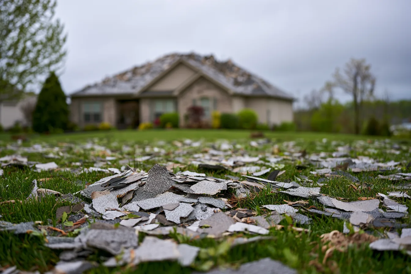
The selected September 2026 preliminary reports below include wind observations at a point described as 1 S Leawood and other reported points in Johnson County. They describe reported limbs, wires and hail at their named locations, with important differences between an estimated observation and a measured magnitude.
This is an orientation resource for an inspection or claim conversation. It does not establish a city-wide damage footprint, a trend or the condition of your roof. The current-year record remains incomplete and can be revised.
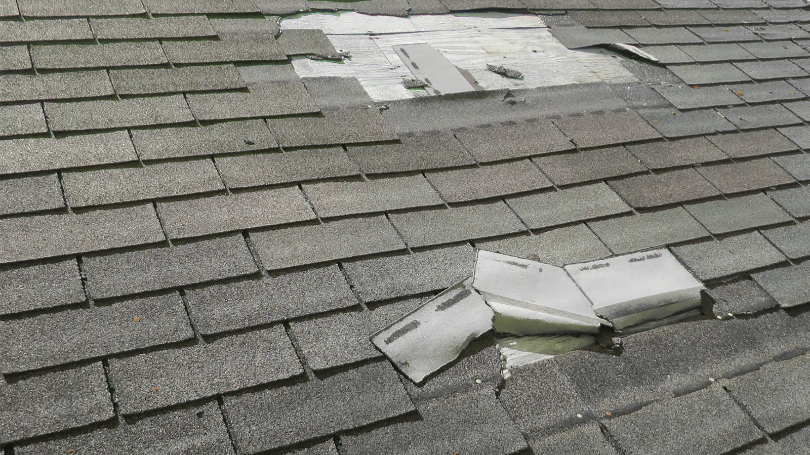
These selected recent preliminary reports come from the Storm Prediction Center collection. They are examples for local context, not a complete storm archive or a map of affected roofs. Report times remain in the source record; dates below identify the SPC report file.
| Report-file date | Reported event and location | What the record establishes |
|---|---|---|
| September 15, 2026 | Thunderstorm wind, 1 S Leawood | A few reports of downed tree limbs and wires between Leawood and Grandview; time estimated from radar. No measured wind speed or roof-damage determination. |
| September 6, 2026 | Thunderstorm wind, 4 NE Stanley | Downed tree limbs and wires near Glenfield Road; time estimated from radar. A reported point in Johnson County, not a city-wide damage footprint. |
| September 6, 2026 | Hail, 2 SE Bonner Springs | An mPING report of quarter-size, 1-inch hail. This is Johnson County context west of Leawood, not a hail report at every Leawood property. |
Preliminary SPC reports are separate from finalized NOAA event data. They are not added together here as a deduplicated damage total.
A date and recorded location help orient a storm conversation. The report text, measured or estimated magnitude and preliminary status need to stay with that record.
A nearby report does not prove damage, date every mark or establish insurance coverage. The roof’s actual findings, prior condition and property history remain part of the decision.
No. Johnson County includes a wider area. The recorded point and report narrative establish the actual location scope.
No. These are selected reported events from a stated collection. Reporting coverage and source revisions limit the record.
It can provide a reason to have a concern checked. Ground appearance and a nearby report do not settle the condition of the roof.
Share the property location and a storm date if you already know it. Request a free inspection.
Call (913) 286-1886